Would you let your mom bike on Richmond? How the City fails our moms by refusing to provide a safe cycling detour
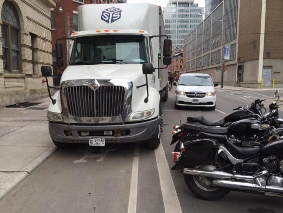
Would I let my mom ride on Richmond? No, I would not. Would you? (I came to the same judgement on Strachan). Just take a look at the state of our "dedicated" bike route when there's construction:
Recent comments