I'm no longer updating this website but I'm leaving it up so people can find old content. Happy cycling!
We recently bought an "e-bakfiets" and have been getting good use out of it. With fall weather it came time to assemble the Clarijs canopy we bought as an add-on. Clarijs is another Dutch company that makes various bike products. I decided to document the process since it's a bit involved in the current instructions leave something to be desired. I got some help from this article by Bicycle Belle out of Boston. And Urkai staff also provided some much needed instructions, especially since Clarijs recently changed the canopy to use a rigid centre pole but didn't update the instructions.
It's a bit intimidating to install since it involves making holes in the brand new box. You'll want to make sure you've marked where you're going to drill or screw and drape the canopy over so you can see if it'll fit. I found that if I could start over fresh I would have moved some of the holes I made but they do the job.
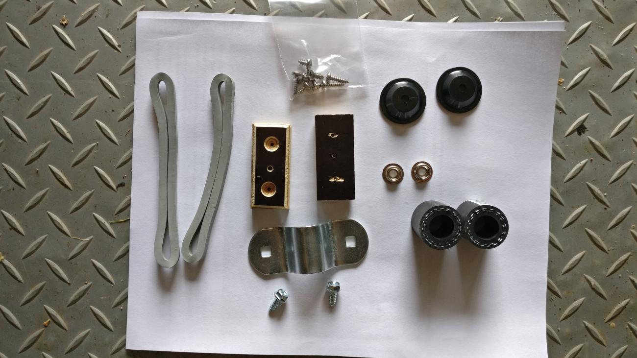
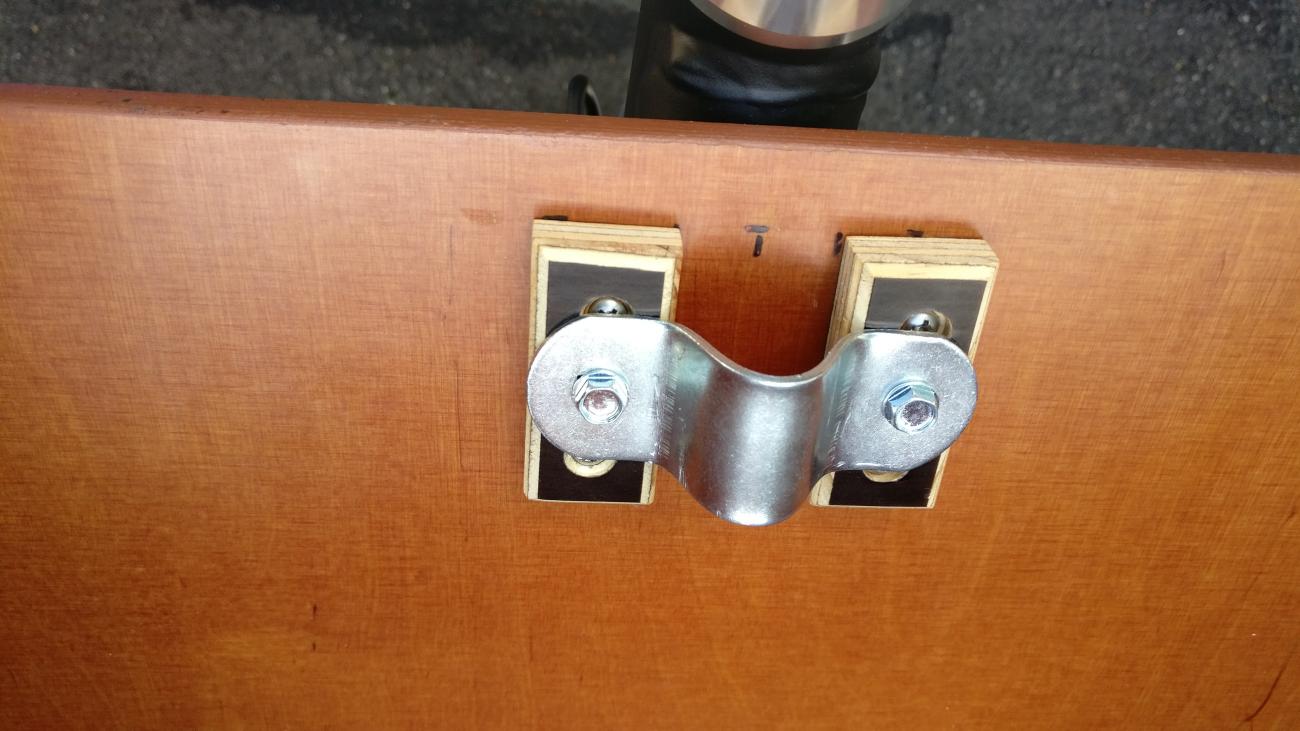
Urkai also sent along another pre-drilled block since they found the Clarijs bracket alone didn't hold the pole in place very well.
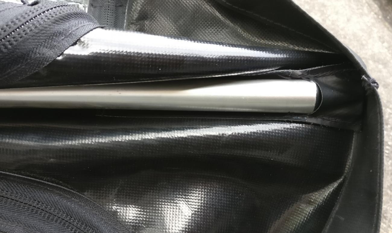
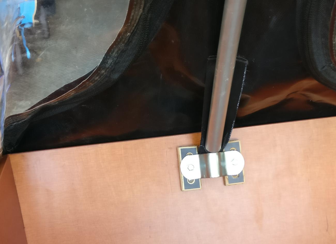
The centre pole slips into the pockets through the middle and at the ends. I found the pole is too big to go in entirely but it is pretty secure.
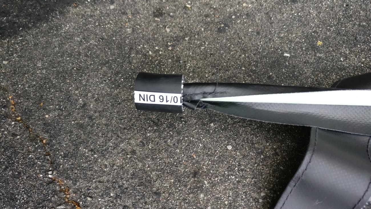
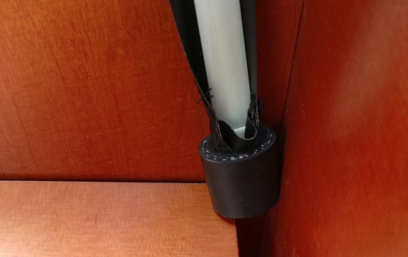
Next is sliding in the fibre rail perpendicular to the pole. The fibre rail was delivered with a warning that it can unwind with a lot of force so be careful that you don't whip anything or anyone. Once the fibre rail is installed then you push the cut pieces of hose over the end. This will provide a base that will rest on the inside of the box.
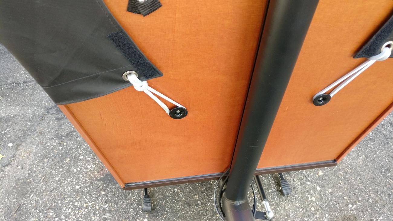
Next is screwing in the square blocks. This requires measuring and doing it twice to make sure you've done it right. I should have put them higher since Urkai's instructions suggest keeping the bracket at 15mm from the box edge but I put the top of the blocks 15mm from the box edge. Not a huge deal.
You can pre-drill the holes in the box with a tiny drill bit to help start the screw. Make sure the drill does not go all the way through. The screws only go in a tiny bit. The final product should look sort of like this:
The hard bracket jutting out isn't optimum, but at least a kid wouldn't normally have their head on that side. You can rub off your measuring marks with a bit of soap. Next, rest the canopy pole on the bracket and start to drape the canopy over the front.
Then put the fibre rail on the inside resting on the bench:
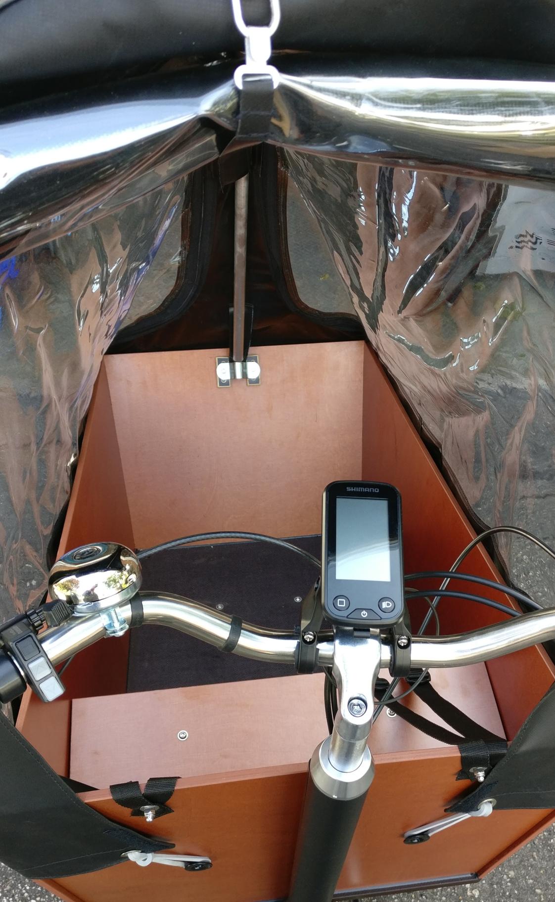
Now we're ready to decide where to put the snaps on the front. Pull the canopy between the box and the front post of the bike. Pull it down so the canopy corners are neatly over the corners of the box. Use a marker to put a mark for the screw. Then screw in the snaps.
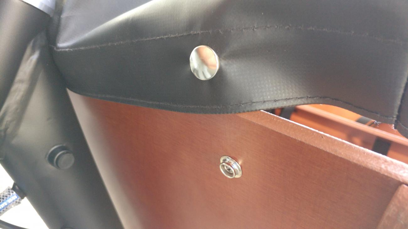
Likewise on the back put the rubber bands through the grommets and pull the flaps down so you can approximate where the rubber bands will be somewhat tight enough to keep the flaps in place. In retrospect I should have put mine more vertical and further down since the canopy redesign means there's now a velcro tab where there wasn't before. So the old instructions from Clarijs are misleading here too.
Luckily, the canopy is a bit forgiving and the end product looked okay. You can roll up the back window and even roll up the side windows too to let some air in. It looked pretty comfortable in there. The toddler and I had a snack in the rain where I ducked my head in. Too bad no one has invented a full bike cover for the rain, which would clearly be a big pain in the ass; answering my own question on why no one has done this yet.
If you don't like the feeling of being a sail you might want to close this back flap in a strong tail wind. I learned first hand that a tail wind can really push the bike along, but unpredictably. Not enough room on the street to navigate like a proper boat.
herb : 6 years 5 months ago
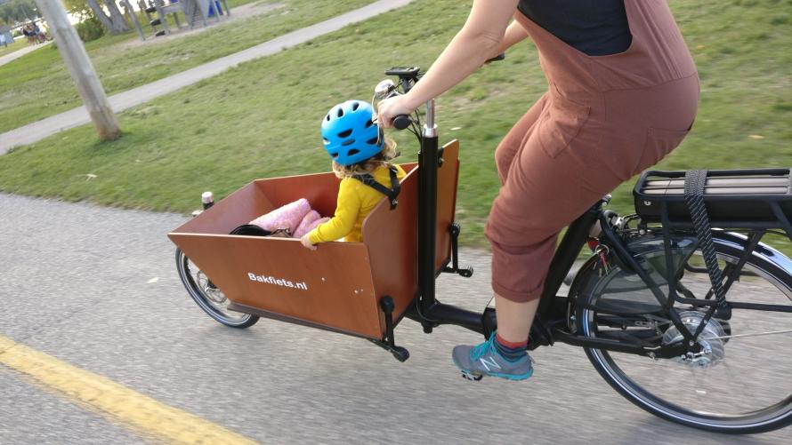
We just bought a box bike (from the Dutch "bakfiets") from Urkai. It's quite a bike. It's large, long, heavy. But it rides smooth and easy even when the box is loaded with a kid and everything for an outing.
It's been pretty fun. We immediately took the bike to an nearby town for ice cream (we have priorities). It was over an hour each way along a gentle rail trail. Our toddler loved it. On the way back it was getting dark so the built-in lights came in quite handy. And we could flip up the bench so our kid could sleep in the bottom on a pad.
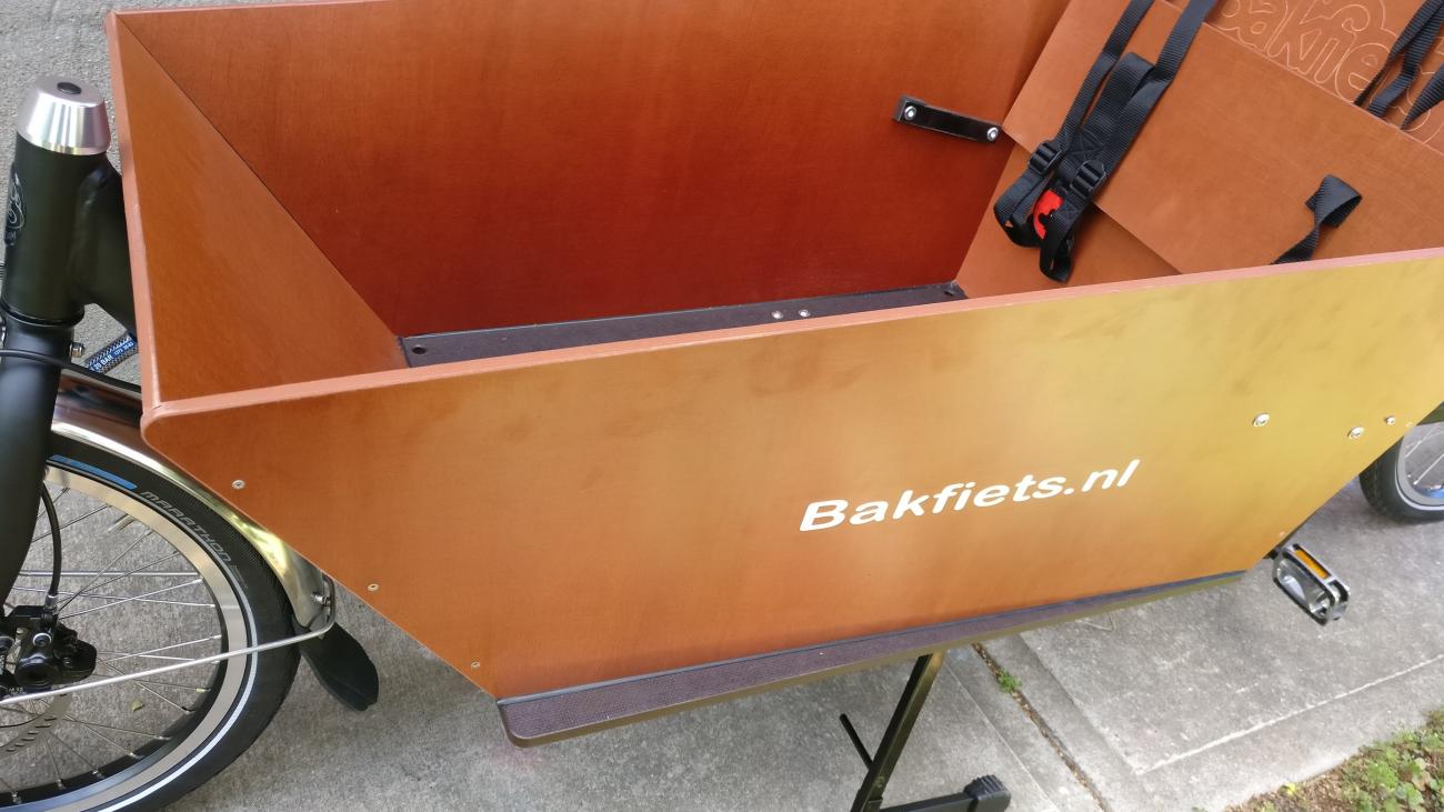
We've wanted a Dutch-style box bike for a while. We've already got other Dutch bikes and appreciate the low-maintenance and comfort. The Bakfiets.nl cargo bike with electric-assist that we got is really well-built. The bike came in two boxes; one really long narrow box that held the frame and wheels, and the other held the box. Urkai is based in Burlington, Ontario, but ships anywhere in Canada.
Full disclosure: I approached Urkai about getting a discount if I wrote up my experiences, and owner Andrew agreed.
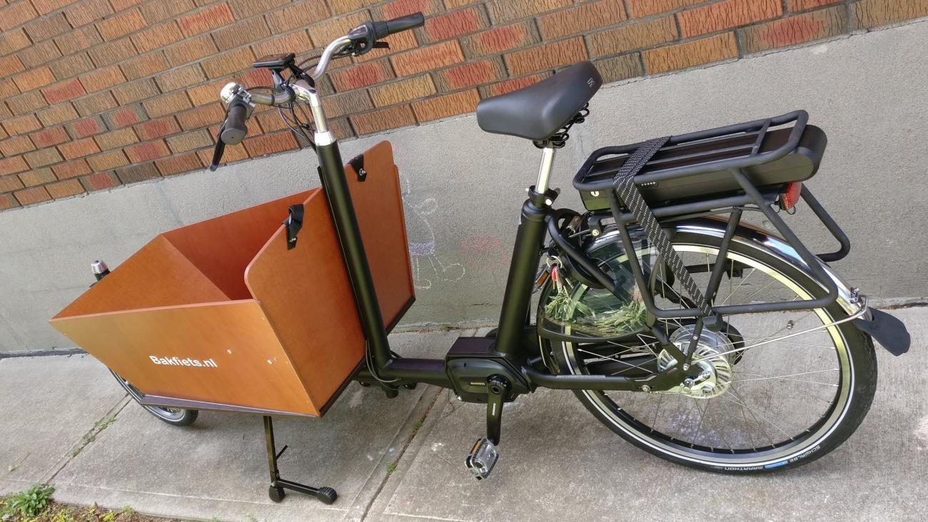
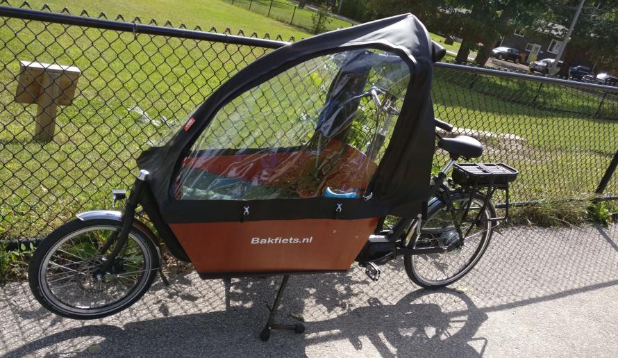
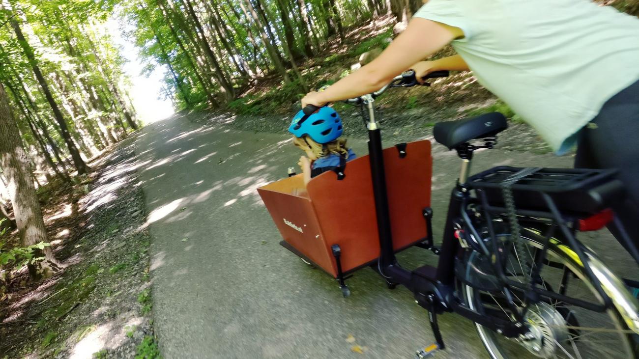
Here's the bike all put together. Everything but the canopy, which I'll talk about in a separate post. This bike is like a stretch limo and front loader put together. Yet somehow nimble; likely because of the low centre of gravity on the front.
On a rainy day I put on the canopy. With the canopy it feels like a moving tent, in a good way. I would like to just hang out in there with the kid while we're stopped for a snack. She got to sit there in comfort, with everything at hand.
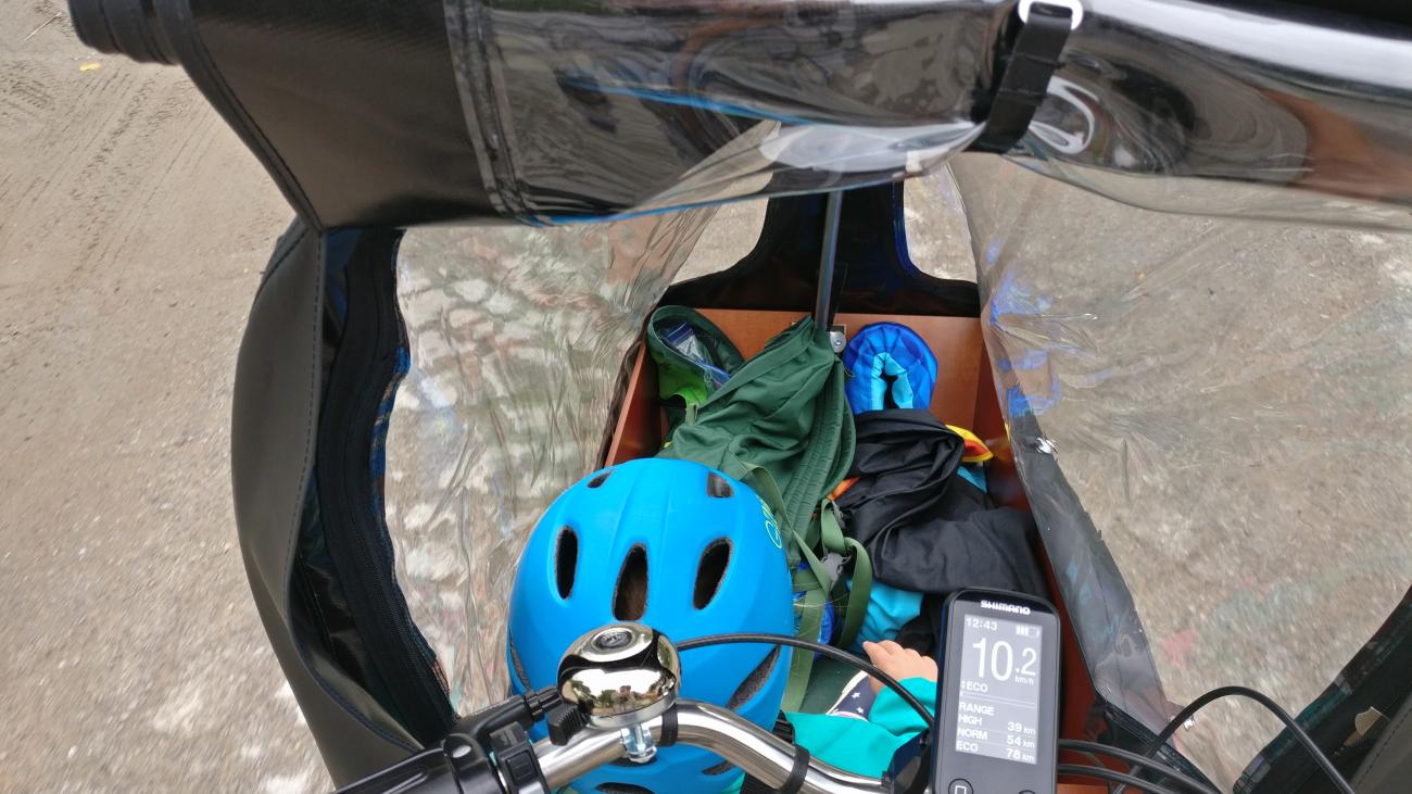
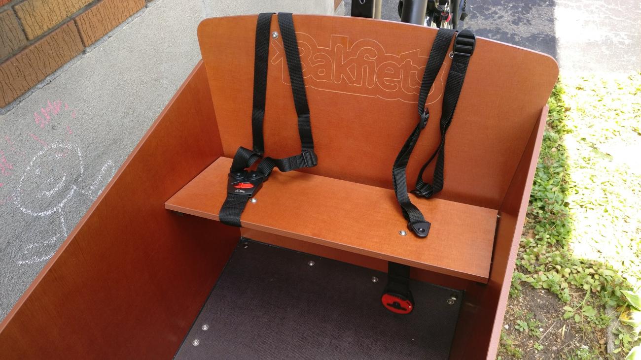
We put a thermarest on the floor so her feet could be higher and she'd have something to sit on. Sitting on the floor makes the bench into a nifty table.
Hills
We've recently moved out of Toronto to a small town in Simcoe County that has its share of hills. Which might explain why many of the two wheeled vehicles I've seen are e-bikes. But we've only seen one other bakfiets-style cargo bike thus far.
The majority of the hills the bakfiets can handle well. We barely brake a sweat if we put the e-assist on. Yet there is one really steep section on a nice, wooded trail between the two towns that pushes us and the bike to the limit. On our first attempt we had to get off and push the bike up part way.
We finally met our match with it's insane 20% grade. (I went back to measure). Most people are unlikely to encounter such hills.
I've since gone back a few times and I can make it up now with the right combination of shifting down all the way and pushing hard on the pedals and pulling hard on the handlebars. We're exploring the possibility of using a bigger chainring on the back to help with the hills. Though it means we lose a bit on the flats. Not much of a loss since we seldom need to go that fast
All about the bike
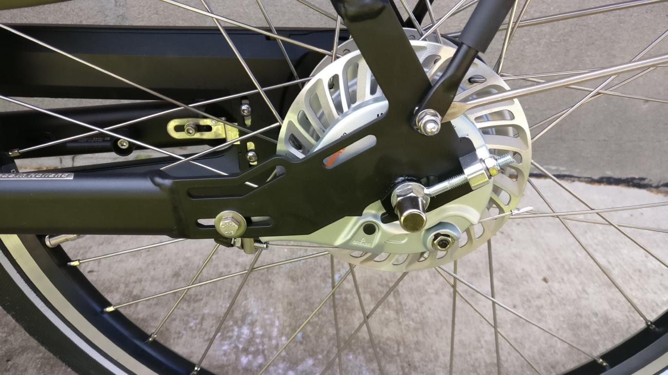
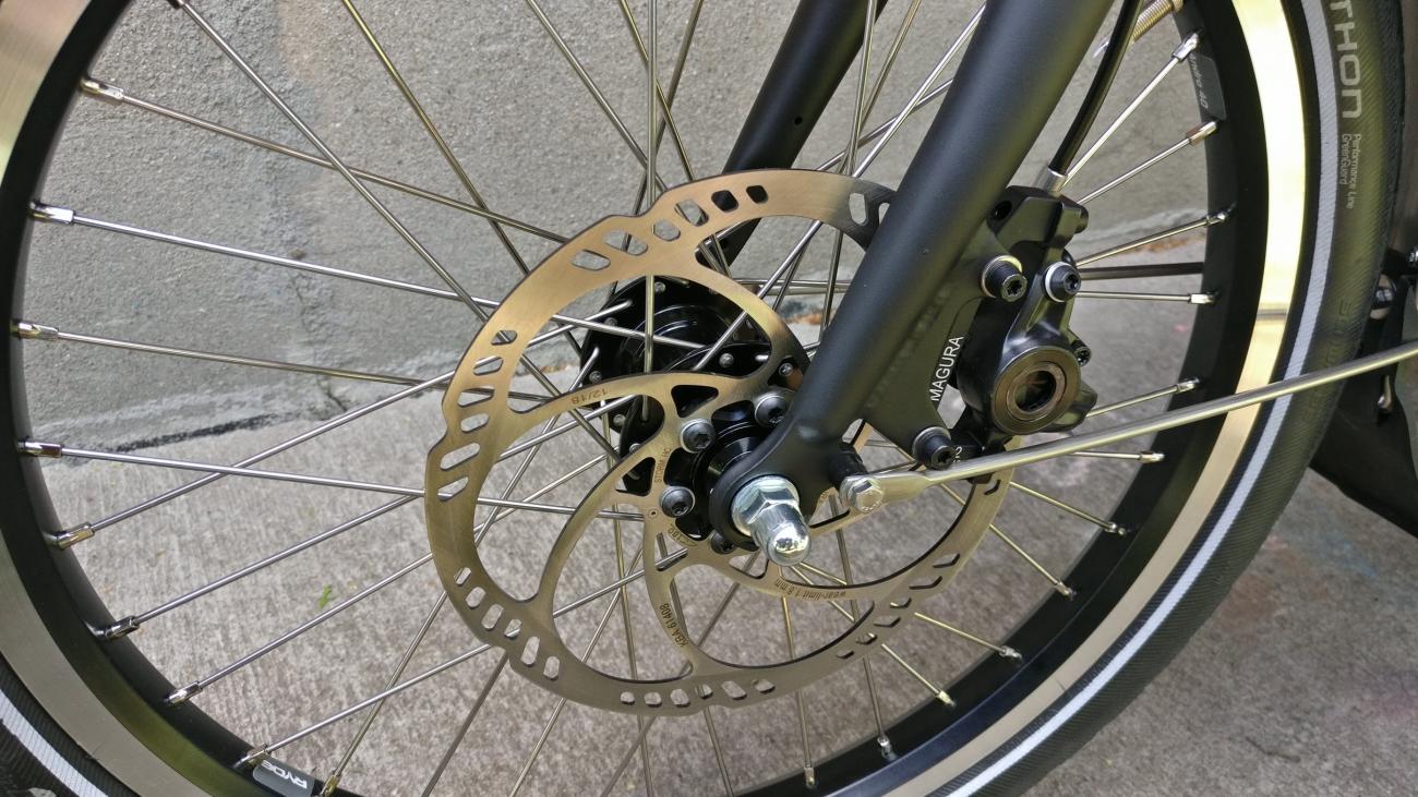
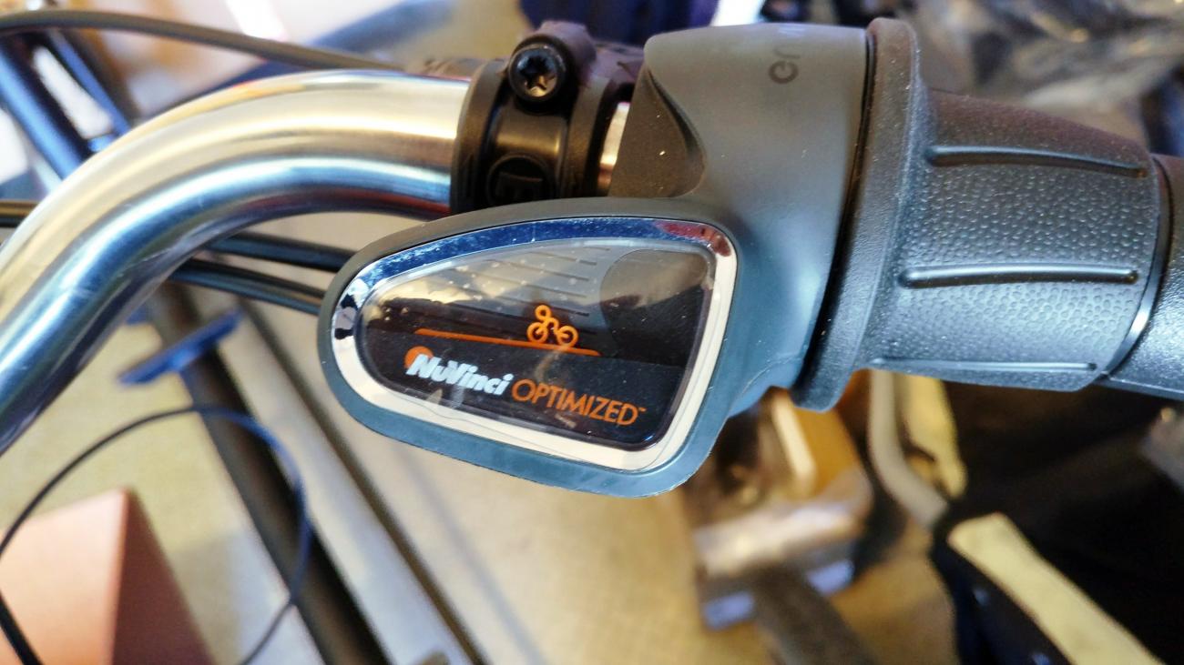
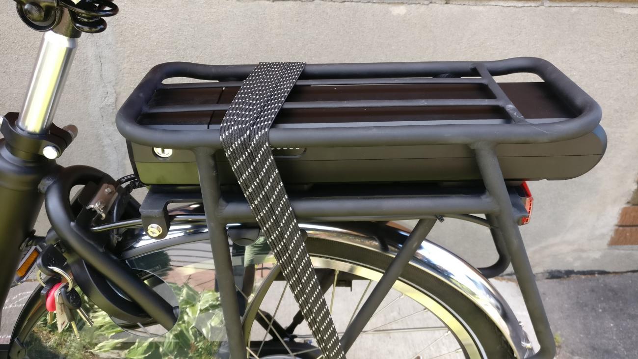
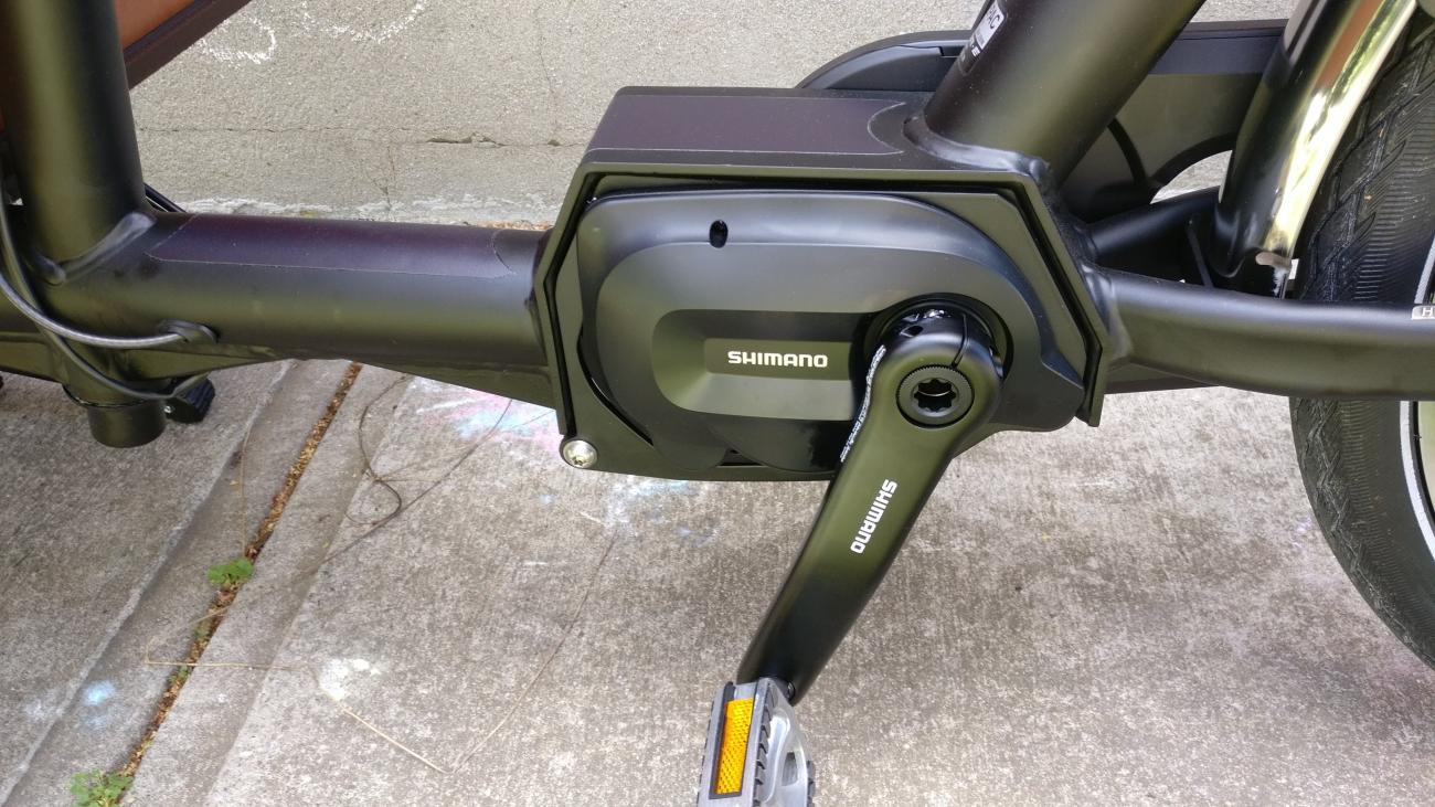
There are lots of nice touches with the bike that make it a pleasure; such as the wheel lock, the magnetically closing harness for the kids, the enclosed chain, the internal roller brakes, and the smooth shifting of the gears. You may find that some of them are a challenge for some bike shops to fix, especially those who specialize in mountain bikes or road bikes. It could help, then, to learn a few things about your bike so you can fix the basics. And keep Urkai in speed dial.

herb : 6 years 6 months ago
- Page 1
- next ›
Recent comments